Tag Archives: Remote Sensing

1993: The Pioneering Role of Satellites in Oceanography
Revolutionizing oceanographic studies, space-based remote sensing, initiated by the Seasat mission and advanced by figures like Kathryn Sullivan, has dramatically enhanced our understanding of ocean dynamics and their impact on Earth’s climate
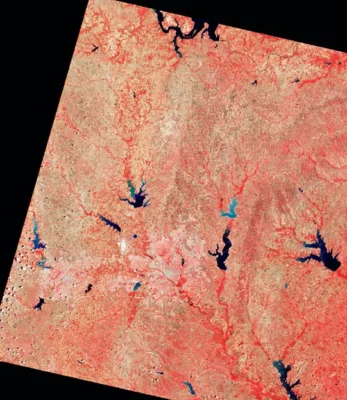
1972: The Evolution and Impact of Earth Science Satellites
Earth science satellites, evolving since the 1960s, have transformed our understanding of the Earth, enabling detailed environmental and climate observations and fostering global collaboration in Earth observation
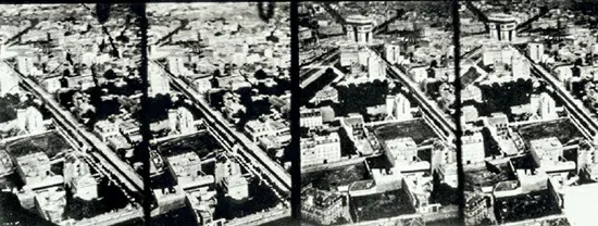
1858: The Evolution of Aerial Photography – From Nadar to Modern Remote Sensing
The first aerial photographs by Nadar in 1858 revolutionized cartography, evolving from balloon photography to modern satellite-based remote sensing, drastically enhancing our capability to map and analyze the Earth's surface