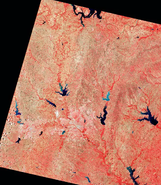
The utilization of space-based technology for Earth observation has revolutionized our understanding of the planet. Initially focused on weather monitoring, this technology rapidly advanced in the 1960s and 1970s, enabling the capture of Earth’s images not only in visible wavelengths but also in ultraviolet and infrared spectra. Instruments like spectrometers further enriched these observations, identifying various atmospheric and surface components.
A significant milestone in remote sensing was marked by the launch of the United States’ Earth Resources Technology Satellite, later renamed Landsat 1, in 1972. Equipped with advanced imaging cameras, Landsat 1 orbited in a polar trajectory, enabling comprehensive mapping of the Earth’s surface. Over its five-year operational span, Landsat 1 collected extensive data that proved invaluable for evaluating agricultural productivity, monitoring environmental health, and observing global climate changes, among other applications.
The success of Landsat 1 led to the deployment of subsequent Landsat missions, up to the currently operational Landsat 8. Each new satellite in this series, managed by NASA and NOAA, has been outfitted with increasingly sophisticated sensors. Besides Landsat, the United States has also launched specialized satellites to study oceans, atmosphere, and the Earth’s gravitational and magnetic fields, enhancing our understanding of oceanography, meteorology, and geophysics.
International collaboration in Earth observation has grown substantially since 1972. Countries like Argentina, Brazil, China, and members of the European Space Agency have launched their own earth science satellites. These missions have expanded global capabilities in monitoring weather patterns, environmental changes, and other critical planetary characteristics.
In recent years, the involvement of private companies in the collection, processing, and dissemination of earth science satellite data has marked a new era in space-based Earth observation, highlighting the growing global commitment to understanding our planet.

