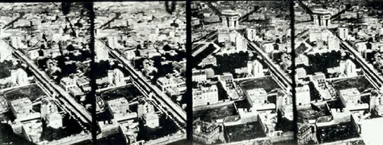
Airborne remote sensing, a critical step in the evolution of accurate mapping and geographic analysis, has come a long way since its inception. Pioneered by French photographer Gaspard-Félix Tournachon, known as Nadar, in 1858, the first aerial photographs from a balloon above Paris marked the beginning of a new era in cartography and remote sensing. While Nadar’s initial photographs are not extant, his subsequent work showcased his expertise in capturing aerial views, contributing significantly to city surveys and tourist promotions.
The method evolved from balloons to kites and eventually to airplanes, especially during World War I, where aerial imagery became a crucial tool for military reconnaissance. Post-war, commercial entities in Europe and the U.S. started offering aerial remote-sensing services, vastly improving the accuracy and scope of mapping and surveying endeavors.
With the advent of space technology in the 1960s, satellite-based remote sensing began, leading to the development of advanced spy satellites and scientific satellites. These satellites have revolutionized our ability to image and analyze Earth, offering high-resolution, frequent observations that continue to shape our understanding of the planet.