Tag Archives: Cartography
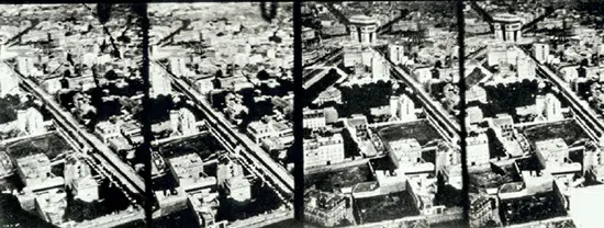
1858: The Evolution of Aerial Photography – From Nadar to Modern Remote Sensing
The first aerial photographs by Nadar in 1858 revolutionized cartography, evolving from balloon photography to modern satellite-based remote sensing, drastically enhancing our capability to map and analyze the Earth's surface
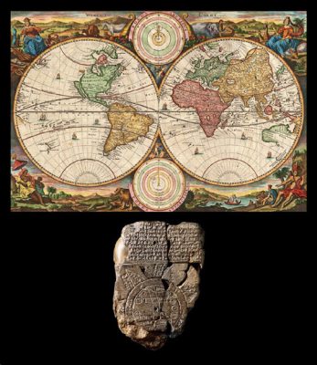
c. 600 BCE: The Evolution of World Mapping – From Ancient to Modern Times
Beginning over 4,500 years ago for local and regional trade, the art of mapmaking evolved with human curiosity and technological advancements. From the Babylonians' circular world maps to the Greeks' spherical conceptions, culminating in today's [...]