During the Hadean eon (4.5–4 billion years ago), Earth’s crust and upper mantle were hot, mostly molten, and highly unstable. As the planet began to cool in the Archean eon (4–2.5 billion years ago), and the barrage of asteroid and comet impacts subsided, Earth’s outer layers started to form their current structure. This period saw the creation of oceans, the emergence of lower-density continental crust floating on the denser volcanic lavas of the seafloor, and the division of the upper mantle into two distinct parts: the cooler, rigid lithosphere and the warmer, more ductile asthenosphere beneath it.
The asthenosphere, derived from Greek words meaning “weak sphere,” begins roughly 30 to 60 miles (50 to 100 kilometers) beneath Earth’s surface. Its thickness varies, reaching up to more than 300 miles (500 kilometers) in some areas, largely dependent on temperature. The rocks within this layer are ductile, capable of deforming or flowing slowly, unlike the stiffer lithosphere above. Driven by massive convection plumes, the asthenosphere’s rocks move, carrying heat and molten rock from Earth’s deep interior towards the surface.
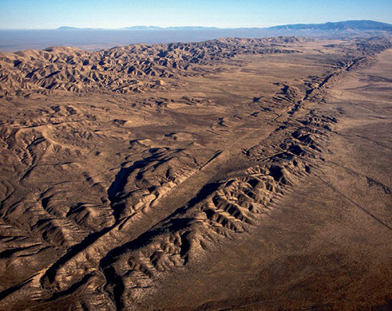
Sometime between 4 and 3 billion years ago, during the Archean era, the lithosphere fractured under the stress from these movements, breaking into numerous individual plates. These plates, semi-anchored to the shifting asthenosphere below, were then able to move independently. They collided to form early mountain ranges and subducted beneath each other, creating deep trenches.
As continents grew into larger plates, they increasingly obstructed the movement of denser seafloor volcanic plates, which continuously expand at mid-ocean ridges. Today, Earth has around two dozen of these large lithospheric plates. Many of their boundaries are zones of significant geological activity, characterized by strong earthquakes and extensive volcanic eruptions.

