More than 300 million years ago, Earth witnessed the formation of a supercontinent named Pangea, a process initiated by a series of monumental continent-continent collisions. This geological phenomenon, integral to the theory of continental drift proposed by Alfred Wegener, resulted from the movement of continental and oceanic crusts, part of Earth’s dynamic plate tectonics.
Continental plates, comprised of less dense, higher-silicon crust, float atop the denser, iron-rich oceanic crust. When these continental plates, often compared to icebergs, collide with oceanic plates, the latter usually subducts due to its higher density. However, continent-continent collisions are more dramatic. Since these plates have similar strength and density, they resist yielding to each other. This resistance leads to the crumpling, buckling, warping, folding, and uplifting of massive mountain ranges along the collision boundary, in a slow-motion geological drama unfolding over millions of years.
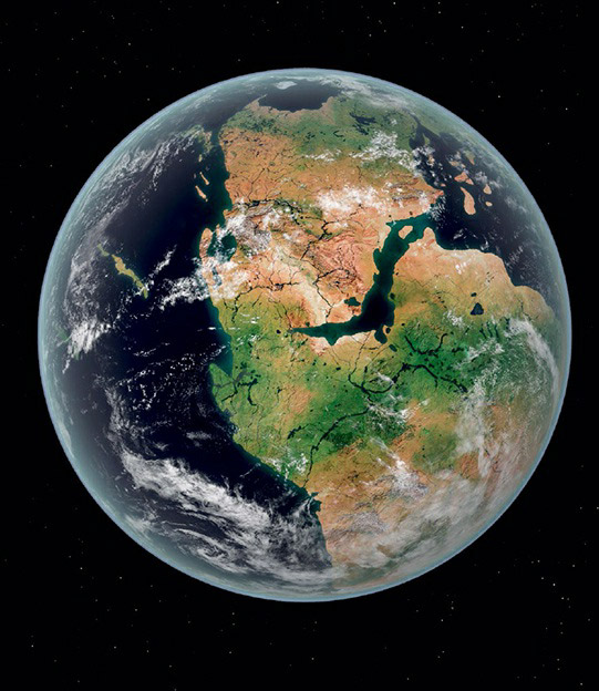
Pangea’s creation is a classic example of such a process. Proposed by Wegener, Pangea was a single landmass formed from the world’s continental land masses uniting through multiple collisions. It is believed that Pangea remained intact for over 125 million years before intracontinental rifting began to tear it apart, leading to the formation of the seven continents we recognize today.
Evidence of Pangea’s existence is found in various sources. Fossils of identical species and similar age have been discovered in regions now far apart. Matching geological features, such as composition and mountain ranges, are found in areas that were once adjacent but are now separated. Modern technology, including satellite measurements, confirms that continents can indeed move relative to each other over geological timescales, further supporting the concept of Pangea and the dynamic nature of Earth’s crust.