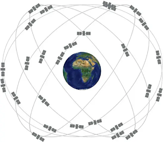
The Global Positioning System (GPS), a remarkable innovation born from the convergence of military, communication, and scientific satellite technologies, has reshaped the way we navigate and interact with the world. Its origins trace back to 1973, when the concept, initially known as “Navigation System Using Timing and Ranging” (Navstar), was developed. The system evolved from a combination of technologies and concepts from various US military branches, culminating in the first fully operational Navstar network in 1985.
GPS began as a military asset, enabling precise location tracking of up to 30 to 60 feet (10–20 meters) accuracy. However, the watershed moment for GPS came in the aftermath of the 1983 Korean Air Lines Flight 007 incident, prompting the US government to declassify and make GPS signals available for civilian use, albeit initially with degraded accuracy. This move democratized GPS technology, leading to widespread global adoption.
The evolution of GPS has been marked by significant enhancements. Modern GPS receivers, utilizing the Block IIIA satellites, offer localization within about 10 feet (3 meters), and future advancements aim to refine this to approximately 1 foot (30 centimeters). This precision has wide-ranging applications, from personal navigation in cars, boats, and planes to providing critical time information for cell phones and computers. Moreover, GPS has become instrumental in meteorology and geology, aiding in the study of atmospheric conditions, ionosphere behavior, tectonic plate movements, and earthquake monitoring.
As GPS technology continues to advance, numerous nations have developed or are participating in similar satellite navigation systems, reflecting the global reliance on and the immense value of this technology.