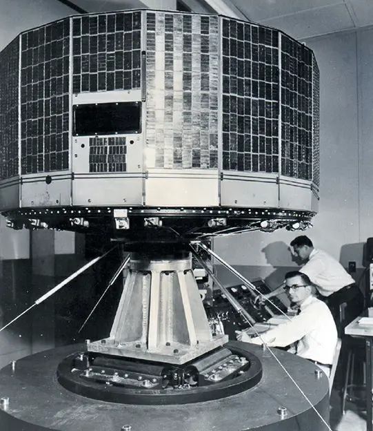
The advent of weather satellites revolutionized meteorology, offering a global perspective on weather patterns that was previously unattainable with ground-based radar systems, balloons, and aircraft. This transformation began with the launch of the first successful weather satellite, TIROS-1 (Television Infrared Observation Satellite), in 1960. A collaborative effort by RCA, the US Army Signal Corps, and NASA, TIROS-1’s short yet impactful 78-day mission set the stage for a series of advancements in weather monitoring from space.
Following TIROS-1, a series of seven Nimbus satellites were launched over two decades, improving weather forecasting significantly. These early satellites operated in low-Earth orbits, providing detailed, albeit brief, glimpses of weather patterns.
In the late 1960s and early 1970s, NOAA began deploying satellites into geosynchronous orbits. This allowed for continuous monitoring of large regions, enhancing the ability to track and predict weather changes. The GOES (Geostationary Operational Environmental Satellite) series, first launched in October 1975, became a cornerstone of the US weather-satellite program, with its seventeenth satellite launched in March 2018.
Other countries, including Russia, Japan, China, India, and European nations, have also contributed significantly to global weather forecasting with their geosynchronous weather satellites. These satellites have become essential tools in meteorology, enabling more accurate and timely weather predictions worldwide.