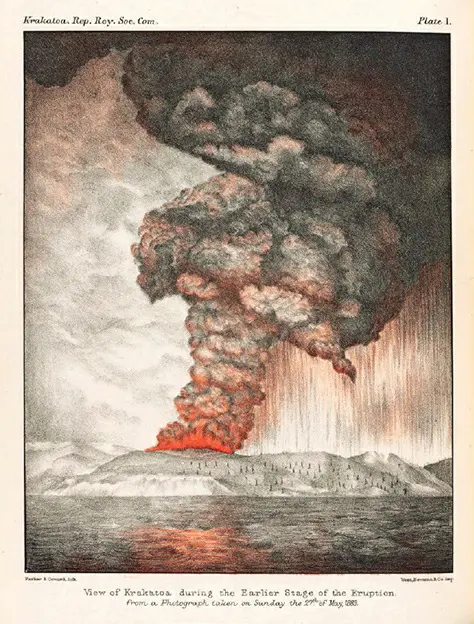
The 1883 eruption of Krakatoa in Indonesia stands as one of the most devastating volcanic events in recorded history. This catastrophic event took place in a geologically complex region where the Eurasian, Australian, Philippine Sea, and Pacific plates converge, creating a hotbed for seismic and volcanic activities. The eruption’s scale and impact were unprecedented, resulting in the deaths of over 36,000 individuals and significant global climatic changes.
Krakatoa, nestled between Sumatra and Java, is a product of the subduction of the Indian Ocean plate beneath the Eurasian continental plate. This process of subduction leads to frequent earthquakes and volcanic activities, with Krakatoa being one of the most active and destructive examples. The 1883 eruption, characterized by massive explosions, ash clouds, and subsequent tsunamis, obliterated two-thirds of the island and released energy equivalent to 200 megatons of TNT.
The aftermath of the Krakatoa eruption extended far beyond immediate destruction. It profoundly affected global weather patterns, leading to darker skies, vibrant sunsets, and a decrease in average global temperatures for several years due to the extensive amount of ash and aerosols in the stratosphere. Today, Krakatoa continues to be an active volcanic site, with frequent smaller eruptions signaling its ongoing geological activity.

